- E S R I
"The process of developing and implementing an intelligent GIS system can be very daunting and
overwhelming for those who do not have the expertise in doing so. Start off on the right foot by utilizing
MEI Engineering professionals with their extensive experience and capability in this process."
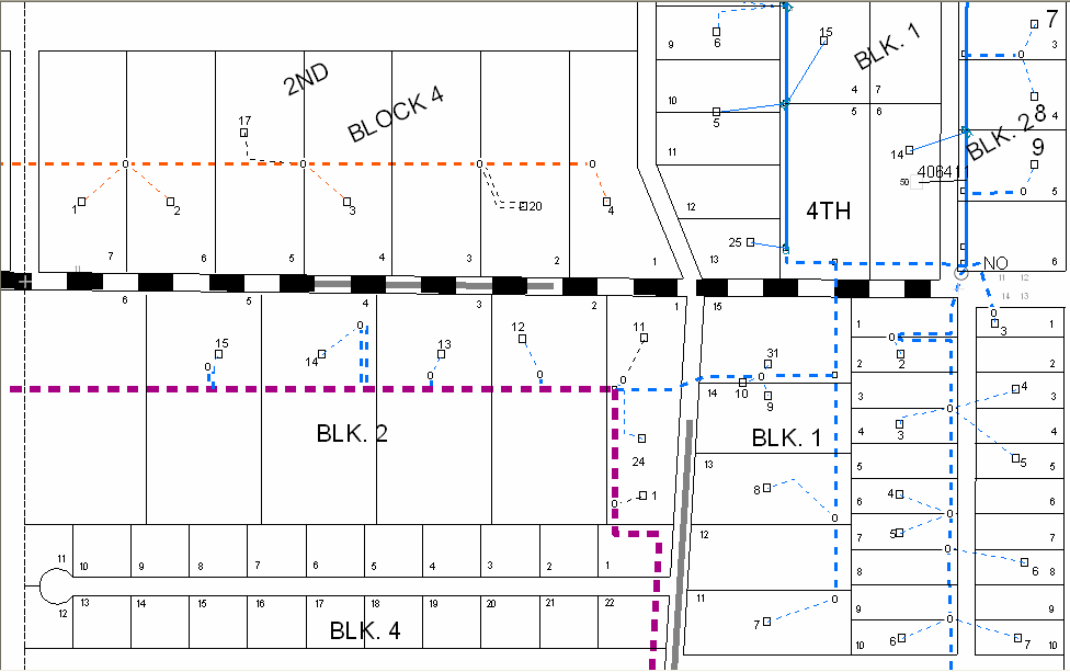
Convert AutoCad to ArcGIS
The first step in this process in converting your maps into a format that ArcGIS can readily understand.
Publish Electronic or Paper Mapbooks
The next step would be to publish mapbooks for employees, which can be either paper versions
or electronic versions that can be easily viewed with a computer in the office or out in the field.
Plot Wall Maps
One of the impressive tools of ArcGIS is that you can import multiple land bases that might consist
of city, county, or state geographical information systems.
Intelligent Maps
Using Multispeak or custom programming, MEI Engineering can link your mapping system to your
CIS, ABS or equipment facility databases.