- G I S
MEI Engineering, Inc. offers Computer Aided Drafting using the latest release of AutoCAD Map®. We also provide phone support, on- site support, and custom menu and script building for AutoCAD.
In developing the land base, MEI Engineering uses the latest geographic land base information available. Depending on the accuracy of the land base required, USGS quadrangle maps, digital line graphs, tiger maps, aerial photography, GPS or existing utility maps may be used in part or in combination to develop the land base.
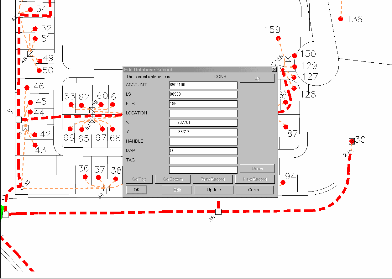
Along with AutoCAD Map, we use a product called MaierMap. MaierMap was developed by MEI Engineering to provide a stepping stone to a full-scale AM/FM/GIS mapping system. Following is a list of MaierMap Features: